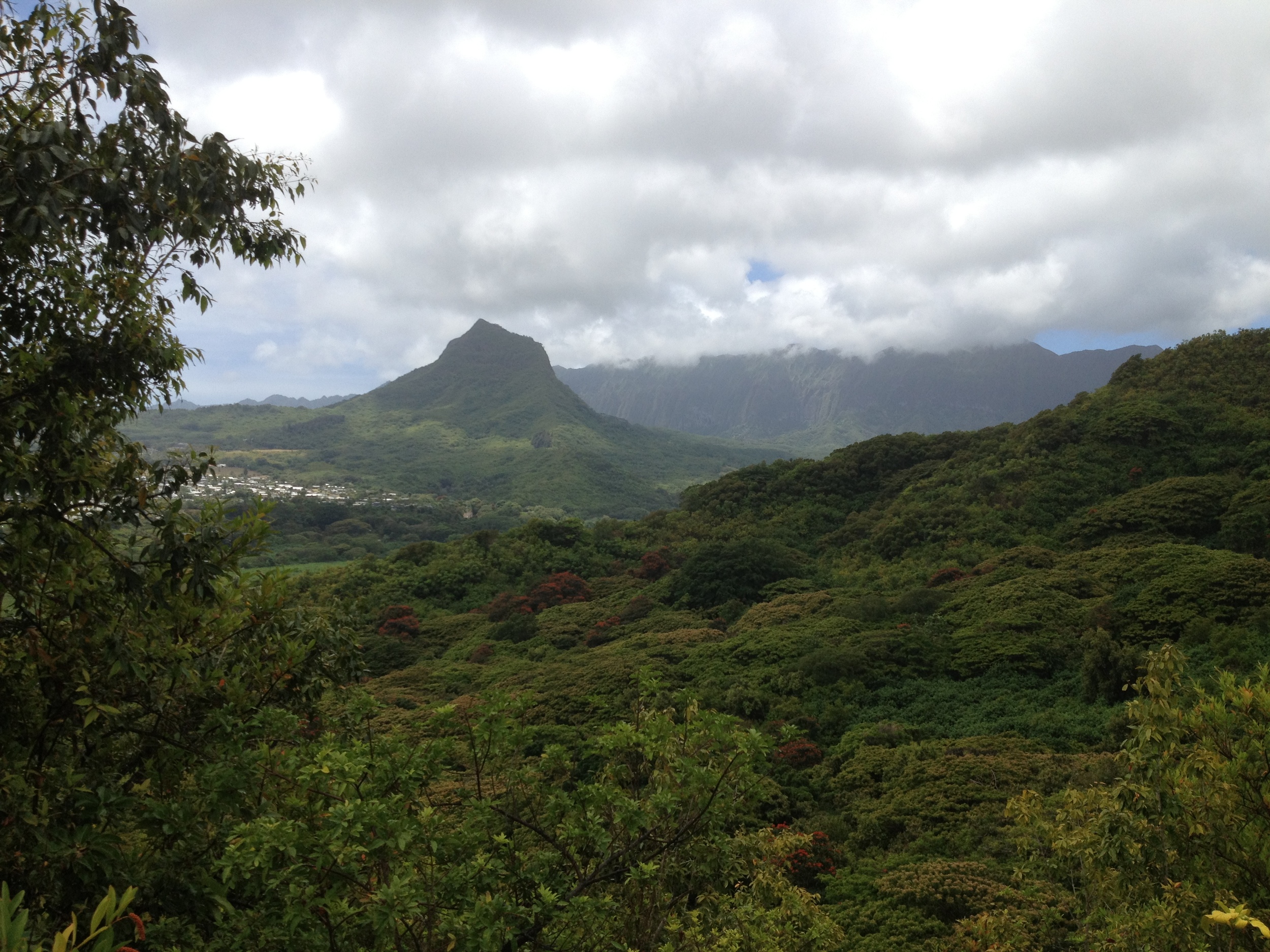
 Kawainui Vista Ridge line Hike
Distance: 1.92 Miles
Elevation: 60’-905’
Geocaches: 3
This past weekend, I headed for a trail I had not yet explored. The real goal was to grab three Geocaches that have been bugging me for a while. Frankly, I don’t think many non Cachers use this one at all. I don’t see why, it’s a fantastic and invigorating workout with some spectacular views. When I say workout, I mean it. Although the hike is short, it is steep in a few locations and can get the heart pumping. When you reach the top, as with many of the ridge hikes in Hawaii, the view really is worth it.
The journey will not be easy; as it is with all great adventures worth undertaking. I took on the ridge one way, but this is a loop trail so either way will work. I will warn you though, going up my way and down the other, will be a much better option, for there is more to hold on to going back down the other way.
The hike starts inauspiciously in an area occupied by paint-ballers, motocross enthusiasts and vehicular exoskeletons. (This isn't called "Dump Road" for nothing). The parking and initial trail head coordinates will be familiar to many, but you will be going up a different trail. Once you have parked, head to the initial trail head coordinates, and then keep to the right making your way to the next reference point. From here, it is a steep uphill climb.
The last 300 feet will tax you as you climb using your hands to grab at roots and stabilize yourself. Once you reach the ridge, you can go either way. To the right, you will be heading in the Kaneohe direction. In a few short moments you will find a pine tree grove with a bench down below. This is a great place for taking in the view and a few much needed gallons of water!
When you find yourself rested enough, turn back the way you came and head for the higher parts of this hike. After you pass where you initially came up, you will see some signs. “Private Property” and “Explosives” mainly. Technically, these are not entirely true. They are to keep hoodlums out of the quarry you are looking down into. Just stroll on by and smile. Soon, the trail will lead you on to dirt and gravel road. Stay on the left side and as a rule; take anything up to the left in order to head back on to the ridge. If you see an explosives bunker on your left, you have gone too far. The correct one is an old road that peeters out into a fairly overgrown trail. After a few twists and turns you will hit the ridge and a junction. One trail leads down, the other up. The way down is where you will come back too. For now, take a few minutes to head up to the view you expelled so much sweat for! You will come to a rock outcropping where you can sit and enjoy a sandwich.
 Now for the fun part! When you’re ready to head down, back track for the junction you came to on the way up. Take the trail down on the right. Stay on this for a while. It will be a steep downhill hike with plenty of bushes for grabing onto. This is not a race, so pay attention to your moves. The idea is to get out with a smile, not a twisted ankle. Eventually, you will end up at a junction with a road. Well, it was one before all the rain ruts and moguls took over. The rule here is, stay going down. There will be one road on the right, ignore it and head down and in the general direction of the road and trail head you came in on. You may take a wrong turn or two. That’s, ok. Just head for the trail head direction and eventually you will get there.
I hope you get a chance for a bit more exploring out in this section of the hills. It seems there are tons of unmarked trails to be discovered out here. I most certainly will be doing just that. I will be sure to post more trails after I map them.
Happy hiking ya’ll!!!
JWM
PS. I got all three Caches!!! Yea!!!


