 A short non glamorous, but beautiful ridge line hike from Kaneohe to Kailua.
Distance: 2.66Mi.
Elevation: 43ft.-459ft.-34ft.
Time: 3h. 36m.
Water consumption: 42oz.
Caloric output: 1,800-2,100 calories depending on pace.
Difficulty: 2.8-3.4
Geo Cache: 5
Way points: Parking. 21°25'38.65"N 157°45'24.18"W
Trail head. 21°25'39.18"N 157°45'28.34"W
A: Fence. 21°25'39.07"N 157°45'34.89"W
B: Climb a tree! 21°25'31.08"N 157°45'37.50"W
C: All up from here. 21°25'28.30"N 157°45'38.59"W
D: Fork in road. 21°25'27.48"N 157°45'35.14"W
E: Side track to view. 21°25'19.95"N 157°45'27.97"W
F: Rocks with view. 21°25'19.91"N 157°45'29.54"W
G: Fence. 21°25'19.62"N 157°45'27.10"W
H: Stairs. 21°25'19.44"N 157°45'26.78"W
I: Off road begins. 21°25'19.12"N 157°45'27.09"W
J: Nice view 1. 21°25'13.09"N 157°45'30.56"W
 K: Peak. 21°24'48.84"N 157°45'30.72"W
L: Peak. 21°25'0.20"N 157°45'26.61"W
M: Peak. 21°24'57.04"N 157°45'27.19"W
N: Tree house! 21°24'52.32"N 157°45'28.92"W
O: Peak. 21°24'51.26"N 157°45'30.19"W
P: Peak. 21°24'48.84"N 157°45'30.72"W
Q: Turn. 21°24'45.82"N 157°45'32.43"W
R: Trail down. 21°24'53.87"N 157°45'29.65"W
S: New trail. 21°24'46.09"N 157°45'25.43"W
T: Rock out crop. 21°24'45.81"N 157°45'28.19"W
U: Trail down. 21°24'47.21"N 157°45'25.38"W
V: Ramps. 21°24'45.06"N 157°45'18.73"W
W: Out. 21°24'41.64"N 157°45'17.38"W
X: End of trail. Same.
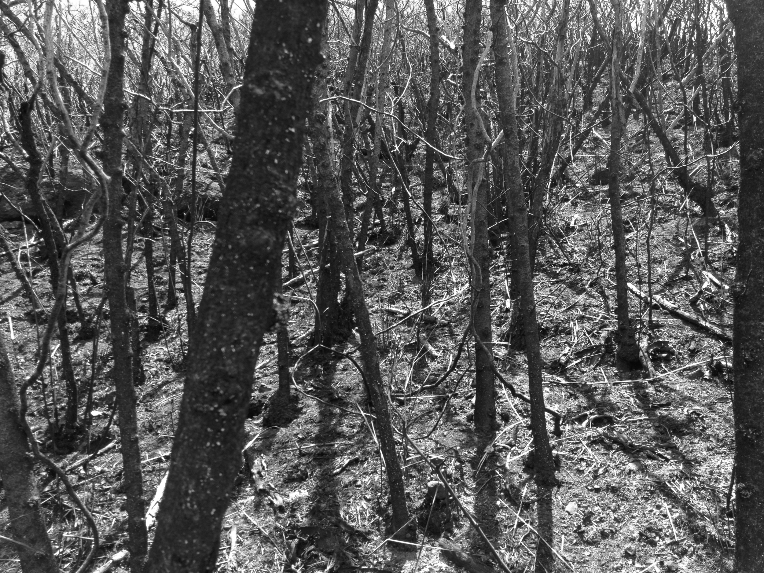
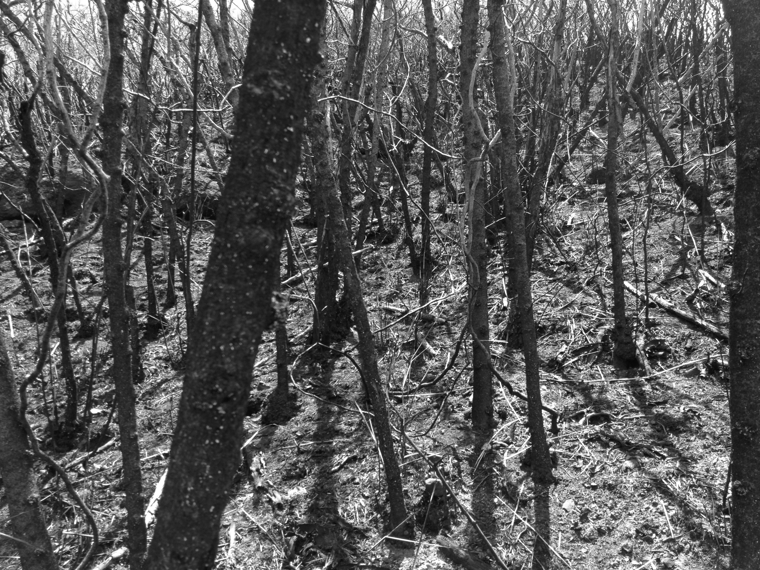
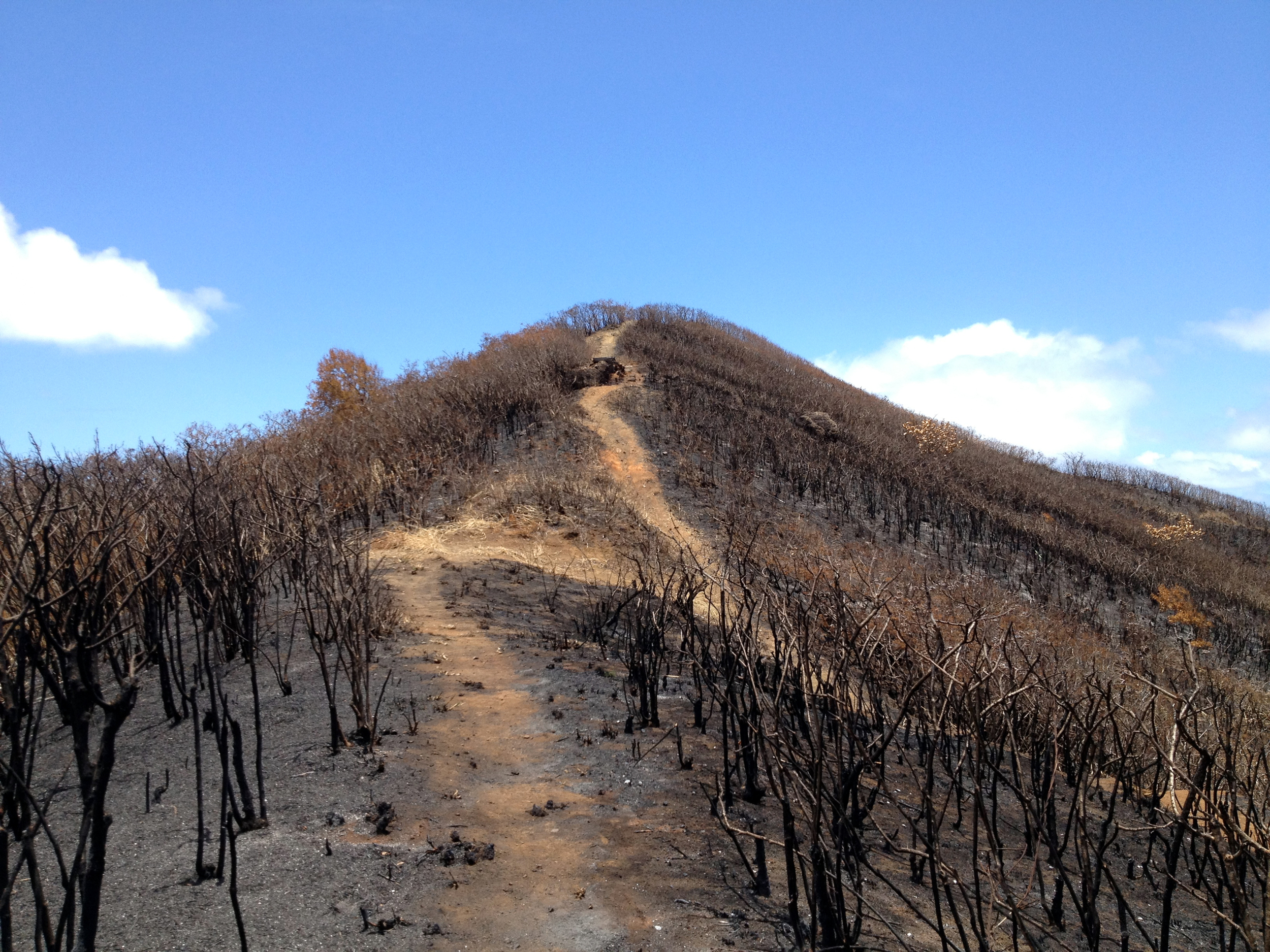
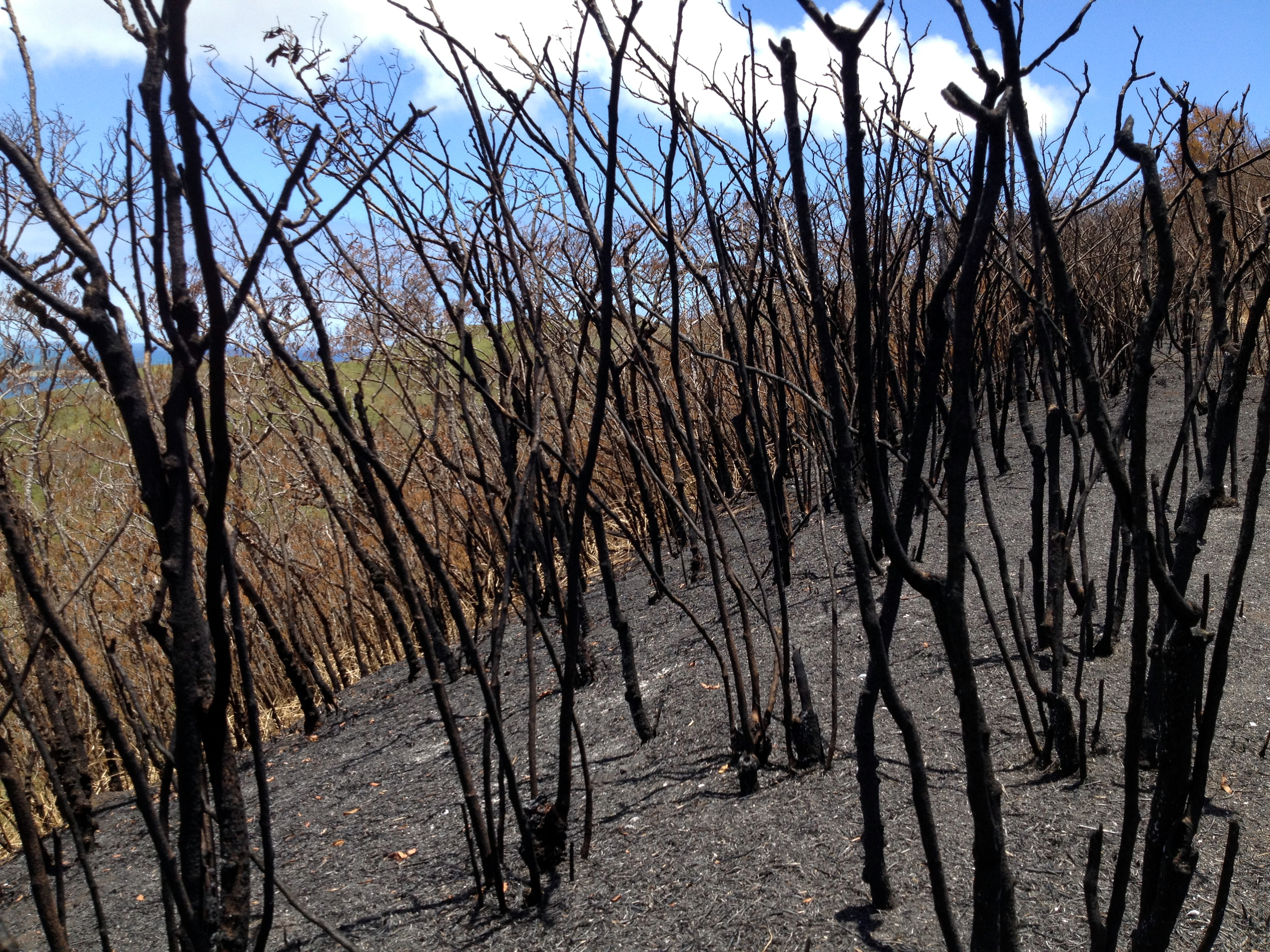
For my next adventure, I decided on a not so glamorous trail. Well, I say that because the flora and fauna has been burnt to a crisp with a wild fire that broke out in the area a few weeks back. (Kids playing with matches) On the other hand, fire has a way of replenishing the ground and a phoenix is sure to rise from this area soon. There is a beauty to all this ash. Already, there are tiny green grasses poking out of the blackened hill sides. A re-birth is eminent.
So, here we go. I started out by parking at some condos on Kaneohe Bay drive. They are kind enough to have plenty of guests parking available. Not for hikers per say, but hey, “Thanks guys”! Please tread lightly so they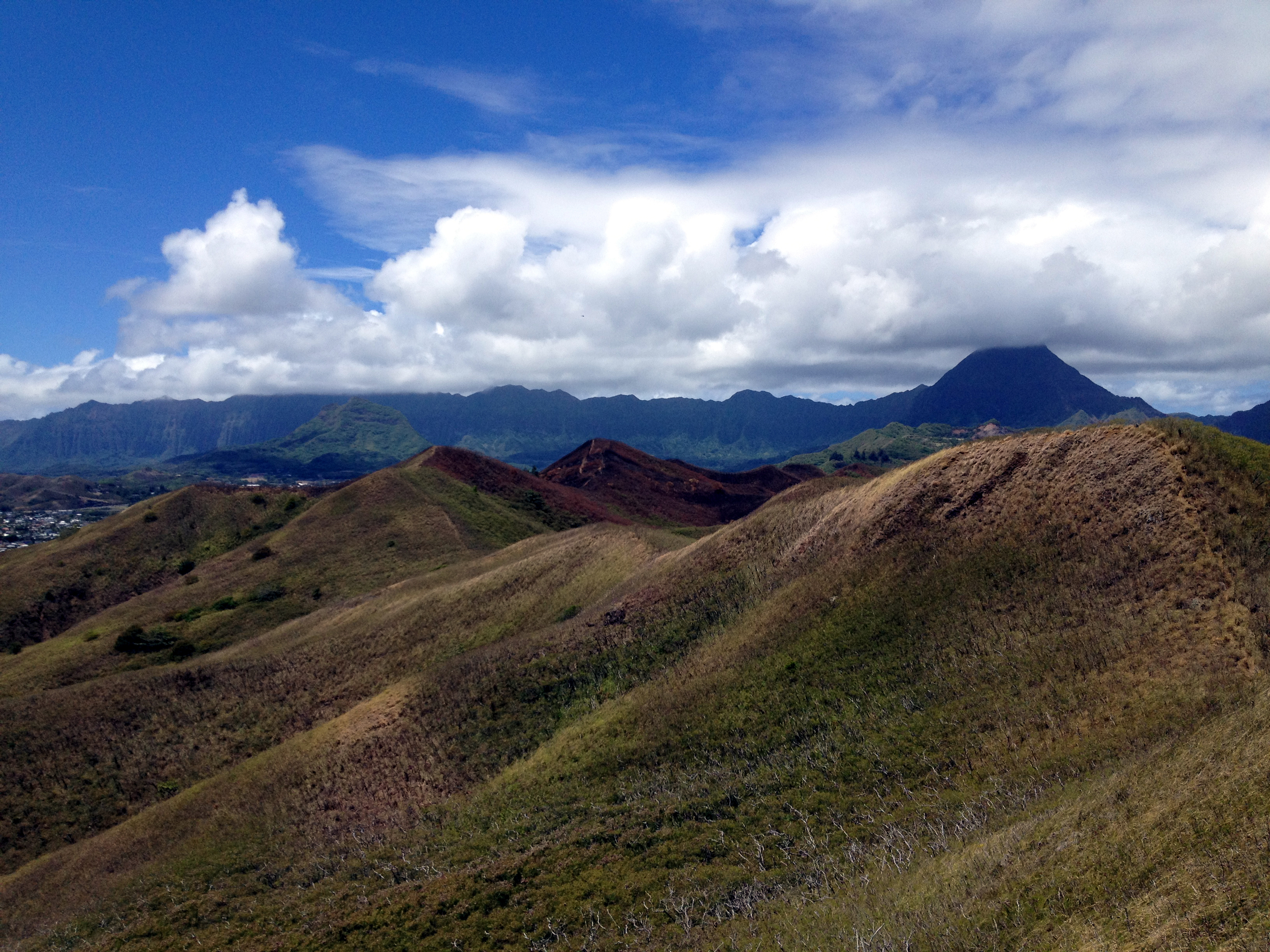 don’t start towing us. From here, you can cruse across the parking lot to a gravel and dirt road with a chain across it. Hop the chain and head to a link fence with a gap in it. On the other side, there is a service road that leads up to some cell towers and microwave antennas. This will definitely get your heart rate up for it is a steep road to the top. Be sure to take the fork to the rite about half way up. Soon you will arrive at a switch back to your left with another chain link gate. There is a path around the gate to the left. As soon as you pass this, you will see a set of metal stairs up to the right. Head up to the landing and walk around the power module to a steel railing. You will see the trail from here. Drink some water, gather your strength and hop over for a fun ride!
 This is a hot and dry hike y’all! Some parts are very dusty and slick. These ups and downs can really be ankle breakers and butt bruisers, so please take your time. Plan your steps. I find side stepping in these areas works well. Try to step on the tops of larger stones going down. While going up, I try to dig my feet into the softer areas to make steps as I go. After a few minutes, you will find your own method. This is not a race, so take some stops along the way and see the spectacular views of Kaneohe Bay to your right and Kailua Bay to your left. Stunning…
As you move along the ridge, you will see a few smaller trails leading off to your left. I recommend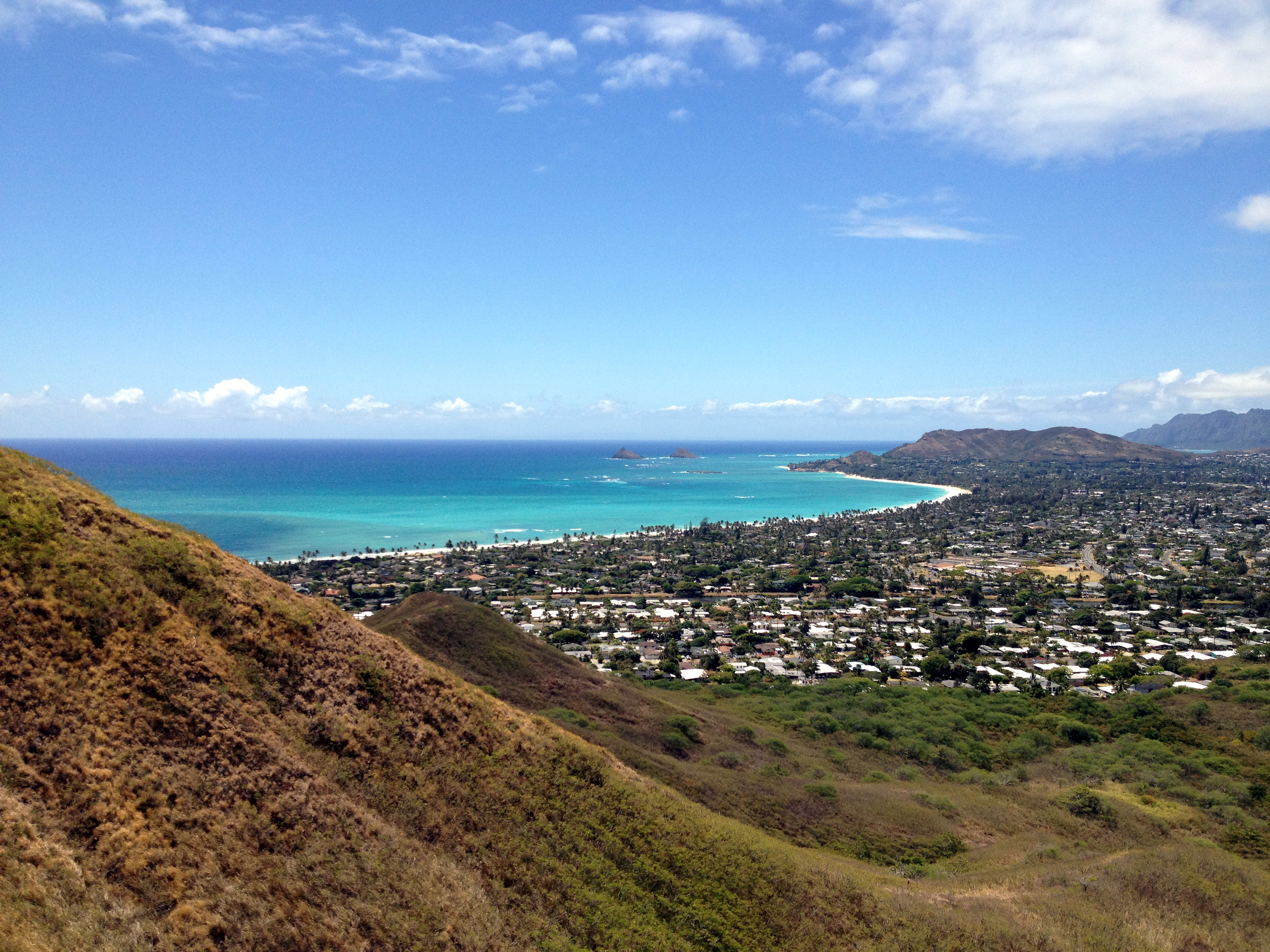 staying on the ridge though, for I have yet to explore and map them. There is an old barbed wire fence on your right that will guide you. At each peak you will find another great view where you can take a rest and burn up some film. Soon you will begin to see tons of trails down to your left. Most of these have been generated by local mountain bikers. If you feel the need for speed, this is a killer area! Riding this area is defiantly on my list of “TO-DOs”. This area was also where the brunt of the fires took place. If the wind is kicked up, you may want to ware eye protection. Ash tends to burn the eyes after a while. I’m sure it will calm down after a few more rains wash it down.
 I found some interesting indigenous structures along the way. Cool tree houses and half melted beer bottle sculptures. In my mind, I like to think of them as alien dwellings that were attacked by the military to destroy their glass breeding pods! Well, it worked! The fires left fresh ground to grow more earthly flora. LOL! At any rate, if you have the means, try to grab a few “PODS” and take them out with you. I’m sure the local earthlings would appreciate it.
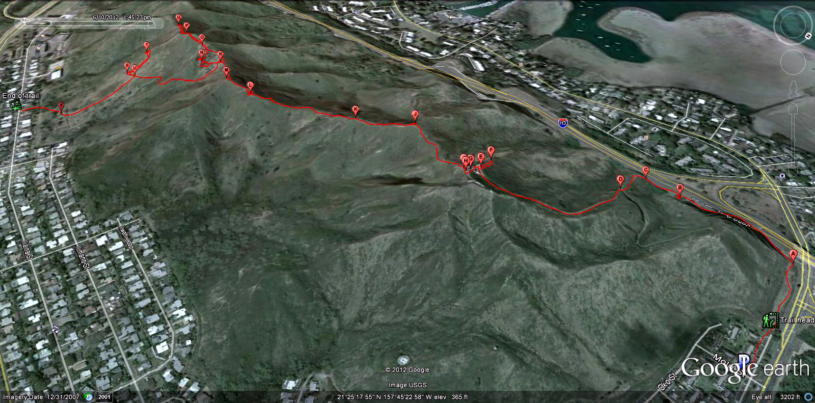
As you can see on my map above, I turned back at one point to find a trail down to the bottom. This is easy enough. There is a maze down there, but just head for the houses and eventually you will find your way. If you get a chance, there are some amazing bike ramps down there. HUGE are some of them. Makes we want to come back and ride! AND I WILL! You will find your way to the neighborhood after the ramps. This is where you can leave a car, or phone a friend for a ride. The walk back to the condos via the street is about 2 miles. Not bad, but a friend would happily accept a margarita and a taco for a ride wouldn’t they?!?! That’s exactly what we did!

Enjoy the hike and “HAPPY TRAILS Y’ALL”!
JWM

