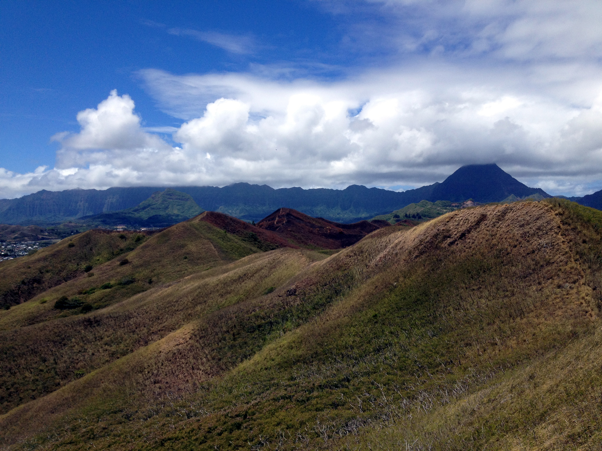
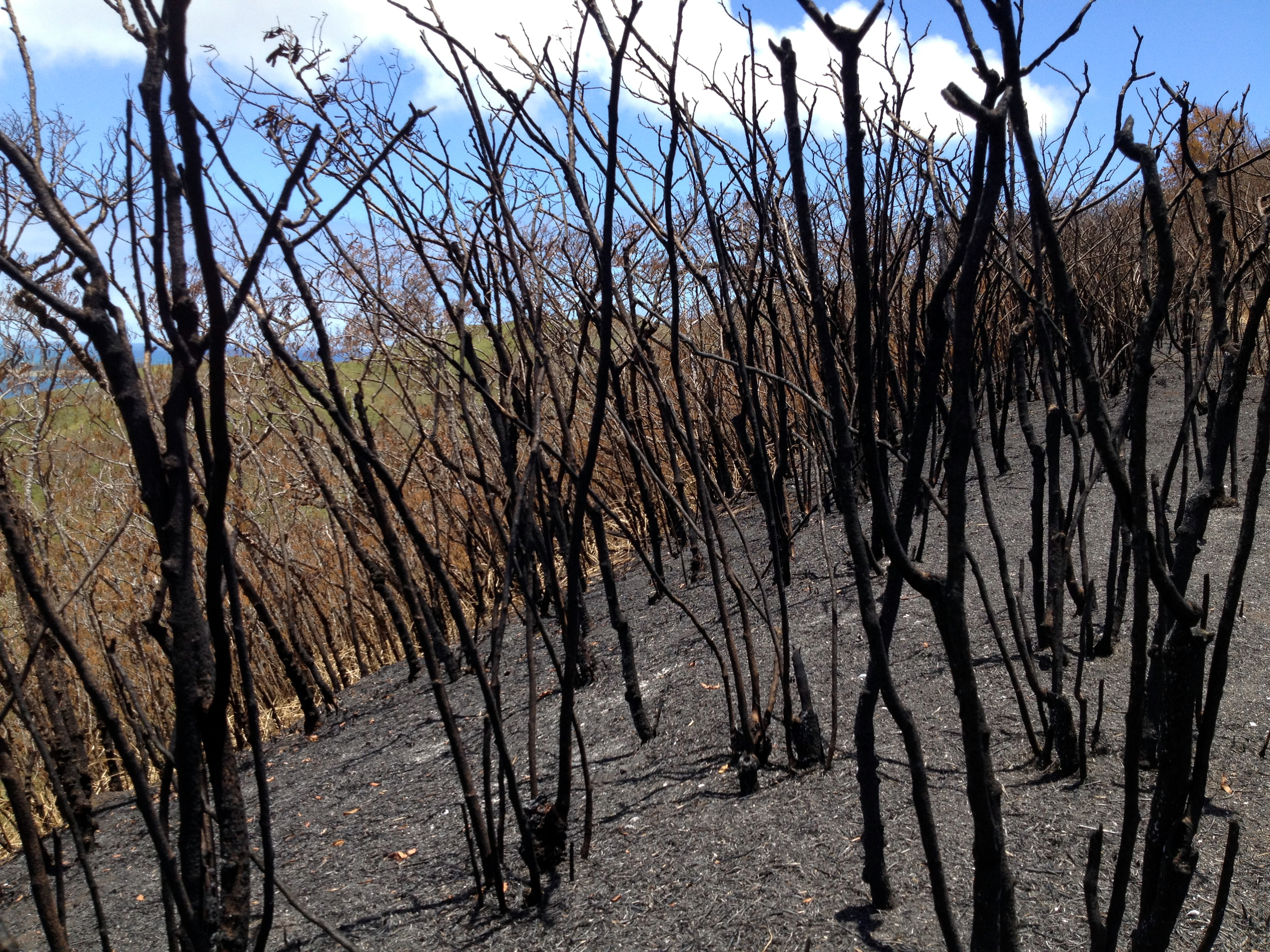
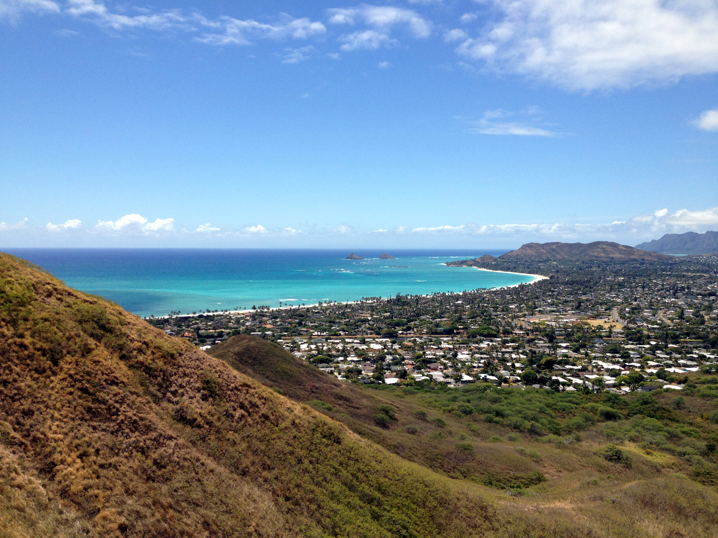
 OK. Drop what you’re doing, put on your hiking shoes and let’s go! This is a “MUST DO” trail. Whether you are just visiting Oahu, or you live here, you are sure to have a fun day on this trail!
Distance: 4.66Mi. Add .66Mi. if you take the falls trail cut off.
Elevation: 590ft.-1,026ft.-145ft.
Time: 4h. 46m. Add 1 hour if you take the falls trail cut off.
Water consumption: 70oz.
Caloric output: 1,900-2,300 calories depending on pace.
Difficulty: 2.8-3.4
Geo Cache: 9-10
Way points:
Parking: 21°21'54.40"N 157°46'46.19"W
Trail head: 21°21'52.66"N 157°46'49.07"W
A: Fork. Stay left. 21°21'50.46"N 157°46'52.46"W
B: View 1. 21°21'46.67"N 157°46'47.27"W
C: View. 21°21'33.46"N 157°46'37.44"W
D: Side trail to another view. 21°21'33.12"N 157°46'36.27"W
E: View. 21°21'29.55"N 157°46'43.37"W
F: Stream bed. 21°21'23.54"N 157°46'48.58"W
G: Beautiful spot. 21°21'15.77"N 157°46'49.21"W
H: Whispering pines. 21°21'14.16"N 157°46'49.92"W
I: View. 21°21'8.92"N 157°46'49.72"W
J: View. 21°21'7.34"N 157°46'53.99"W
K: Intersection with Maunawili trail. Head down. 21°20'57.49"N 157°46'56.24"W
L: View. Look back at mountains. 21°20'57.77"N 157°46'53.46"W
M: More pines. 21°20'56.40"N 157°46'32.69"W
Trail sign: 21°21'1.69"N 157°46'24.42"W
N: Bench. Trail intersection to falls. 21°21'1.86"N 157°46'23.37"W
O: Split in trail. 21°21'5.54"N 157°46'15.50"W
P: Cool trees and another way out. 21°21'14.10"N 157°46'12.12"W
Q: More stairs. 21°21'6.94"N 157°46'10.10"W
R: Funky trees. 21°21'15.63"N 157°46'4.22"W
Gallows trees: 21°21'14.22"N 157°46'3.00"W
S: Cool trees. 21°21'20.31"N 157°45'57.89"W
T: River beds. 21°21'22.86"N 157°45'53.40"W
U: Rail road ties. 21°21'24.68"N 157°45'52.06"W
V: Side road. 21°21'31.20"N 157°45'48.29"W
W: Last turn out. 21°21'31.93"N 157°45'45.41"W
Trail head and signs. 21°21'32.76"N 157°45'45.02"W
Parking: 21°21'32.91"N 157°45'51.55"W
Swimming at the falls: 21°20'49.95"N 157°46'19.55"W
The Waimanalo/Maunawili demonstration trail is a delight for the hiker as well as the mountain biker. I highly recommend it to anyone who asks me about it. Whether you are a beginner or even expert, this trail will delight. I have taken this trail on both foot and bike. You mountain bikers will have a blast as there are all levels of terrain to navigate . Don’t feel bad about the occasional dismount to carry your bike over some hairy rocks. I often do. Unless you are a wicked trials rider, please take it easy if this is your first time on this trail. There can be some scary drops on portions of the trail. In some spots, an overshot turn can send you down, down, down into no man’s land. Get to know the trail before you go out breaking speed records. Also, please, please, please try not to cut ruts. There is no reason to go blazing with locked wheels into corners. If you want that style of riding, there are plenty of trails that are more suited for speed, such as the Kalaheo Ridge Line Trail I wrote about in a previous blog. On the Maunawili Trail, keep your wheels cool. The terrain is shaped beautifully and we should keep it this way for others to enjoy. One more thing: Please go easy on the roots. If hiking, just step over. If biking, please no chain ring cuts. Some of these trees are rare and very old. They deserve to be treated nice, for they are spectacular! This trail has remained a favorite for many and it must be on your short list of “TO-DO’s”!!!
The hike begins:
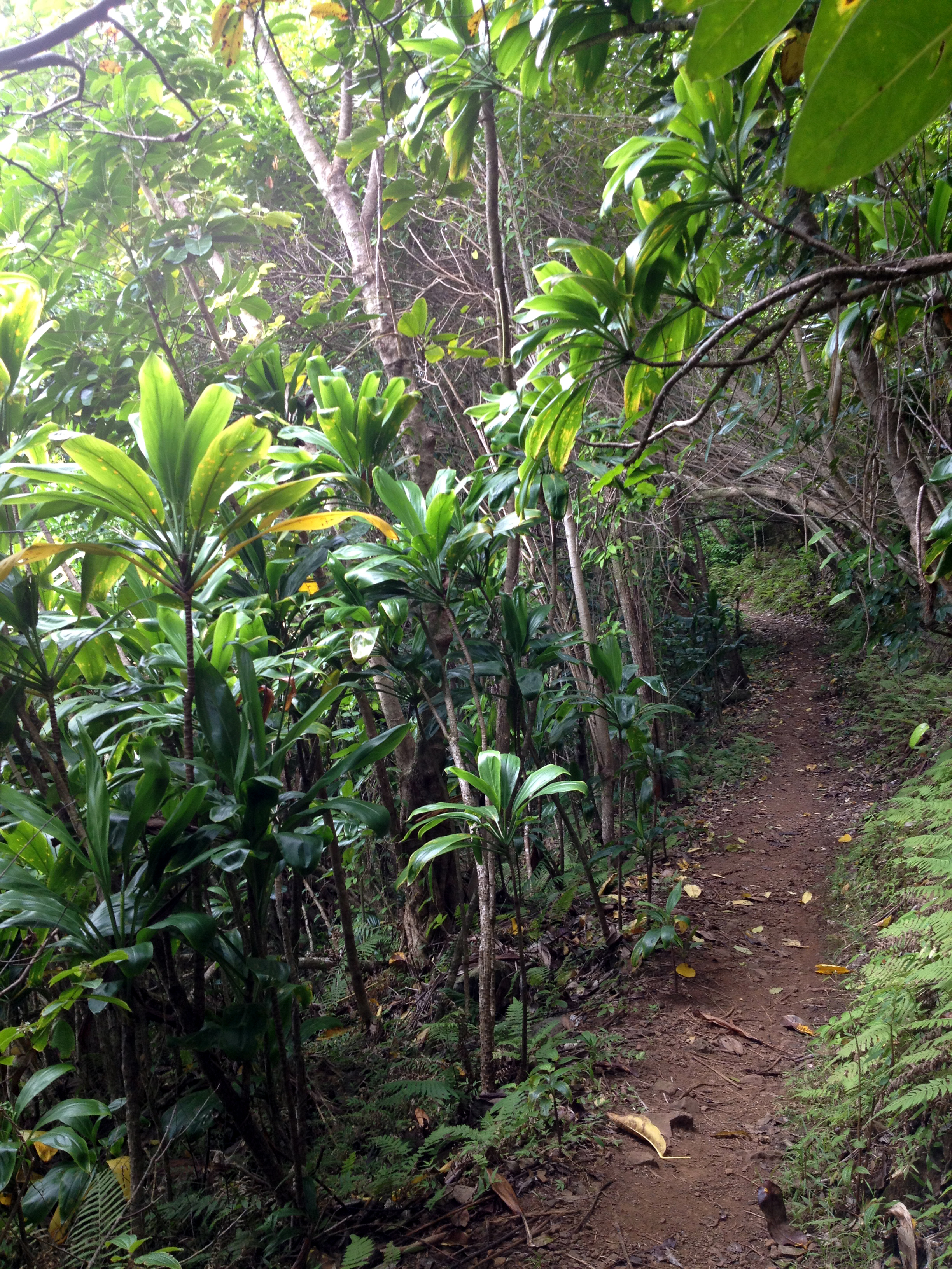 Now, I could write a novel about all of the scenic stops along the way, but I’m afraid I would lose your attention if I already haven’t. (“Stop at the green rock on you left and look to the south through the fourth guava tree on your right… BLA-Bla-Bla”…) Instead, I’m just including the beginning middle and end parts. You will have to write your own novel on this one.
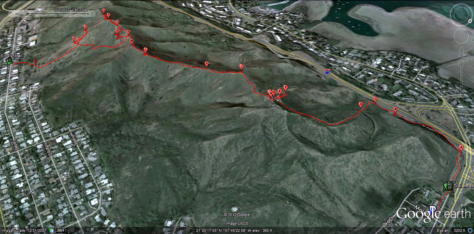
For starters, there are several ways to approach this one. The route I chose on the map above, is by far the most scenic. It will require leaving a car at one end, but if you have the time to back-track the way you came in, one car will suffice. I suppose you could call a taxi, as I have before, but it will set you back about $20.00. You can find where I parked and began my hike by coming down the Pali highway from Honolulu toward Kailua. As you pass through the tunnels, you will approach a hair-pin turn to the left. Slow down and merge into the parking lot on your right. This is a scenic area with a great view of Olomana Mountain and Kailua. Enjoy it as you get ready to head off road.
 You will see a guard rail. Follow it back up the road to a clearing in the trees. Here you will see a sign with an arrow and a small bridge over a stream. You’re here! Follow the trail up. It is wide, well maintained and marked. In a few paces, you will come to another sign and a fork in the trail. Follow the arrow to the left. Just remember, “Maunawili Demonstration trail” and/or “Waimanalo Trail” are what you are heading for. The rest is easy. Eventually you will get to a really cool water tank. “DON’T DRINK IT”!!! Take a picture instead! From here, the trail just gets better!
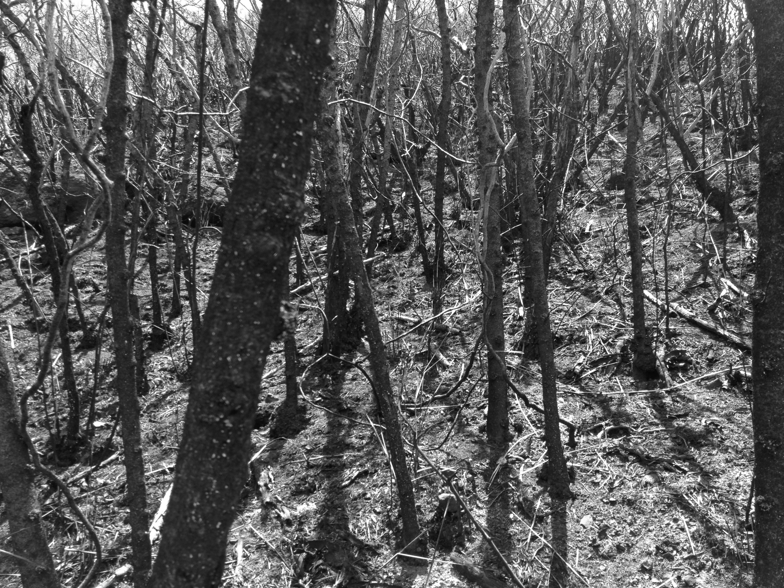
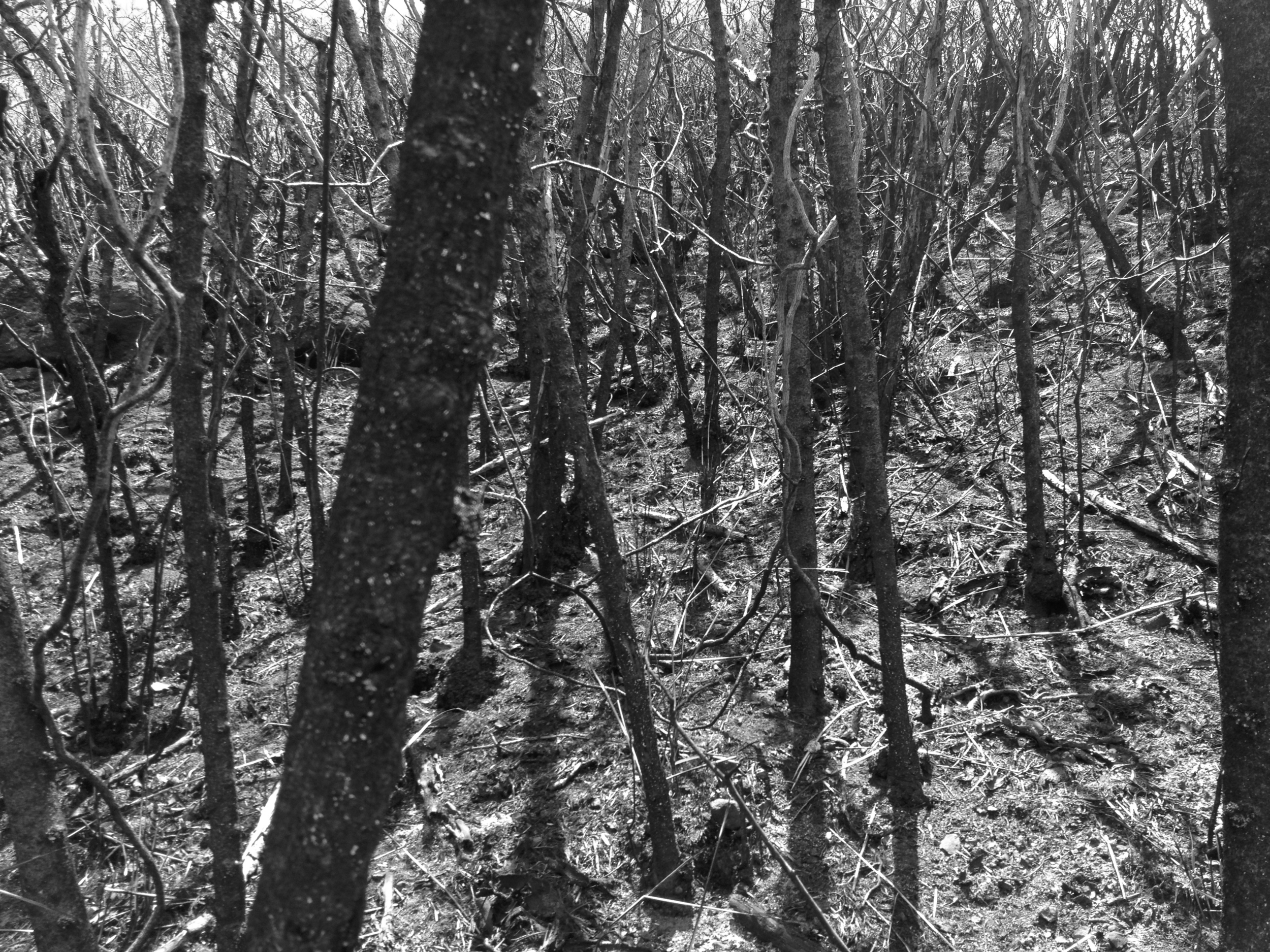
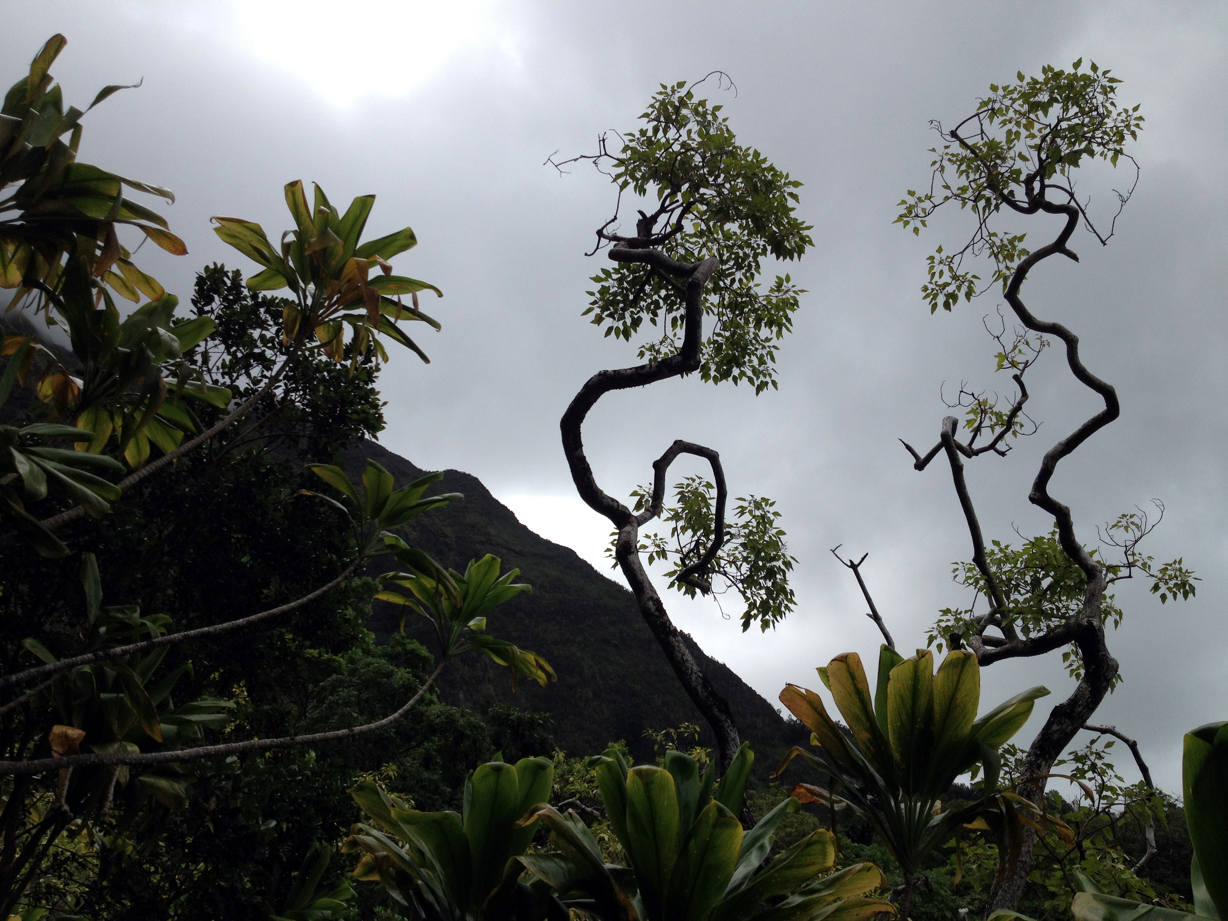 There is every imaginable tree, flower and grass along this trail. From guava to orchids. From mango to kiawe. It’s all here. I have also spotted many pigs along the way. They can be aggressive, so make some noise and let them pass. Especially if they have keke with them. “Mama don’t like surprises with kids in tow”. The birds are a plenty as well. I have seen perhaps 10 species out here, but I’m sure there are more. Mongoose too!!!! “So Cute”!!!!
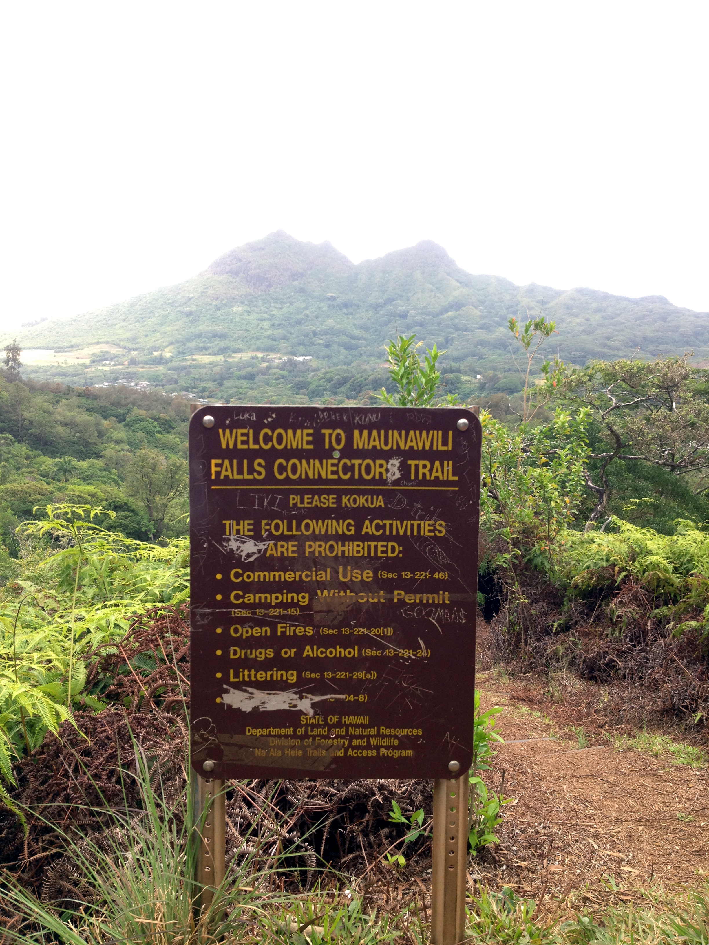 Somewhere in the middle, about 2 miles, you will hit an intersection with the Maunawili trail. This is a great spot to rest and take in the view. Strait out in front of you will be Olomana. You can actually see all the way down the Ko’olau mountain range to Makapuu point. A stellar perspective many never see. This point is where we head down into Maunawili.
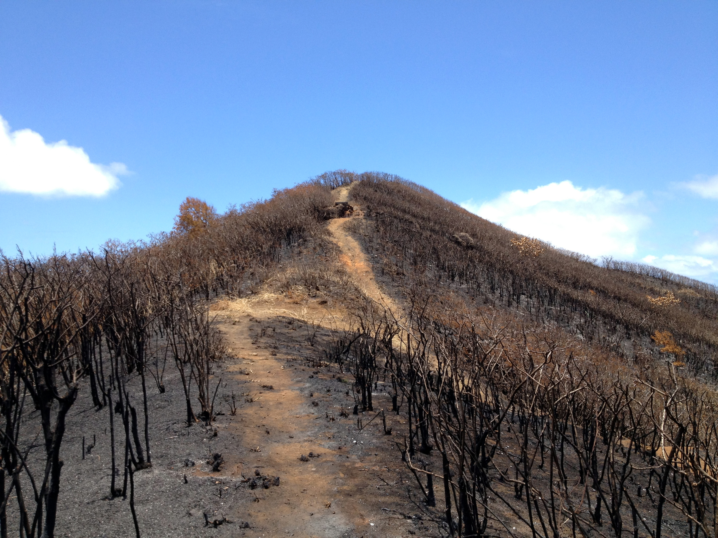
 This clearly marked trail can be a bit slippy in sections. There are some stairs cut into the trail that help, but if there is much dry grass and pine needles about, you can slip. It is a neat section, for you are walking along the ridge of one of the fingers that start up on the cliffs. You can see both sides of the valley as well as the cliffs behind you. Stunning it can be, as it offers you a real sense of scale to the valley.
 Eventually you will come to a bench and another intersection. This is the spot where you can either head down to the falls, or head for the exit. If you choose to go to the falls, just head down the trail with stairs. It is pretty obvious how to get to the falls from here. Just head on down to the stream, cross over and up the valley. There is a trail up on the right that takes you along the stream bed. If it has been raining, it can be tricky. You will hear the falls soon and know you are on the right track.
 Yea! You made it! The water is cold! It is fresh rain water, so go figure. This is one of the most popular swimming holes around these parts. If you swim across there are plenty of rocks to jump from. It can be shallow, so do some exploring before jumping. Hate to see any boo-boos! I usually stick around for a while and talk to the hikers that come and go. Great place for a sandwich as well! Did I mention the water was “COLD”!!!! “BRRRRRRRRRRR”!
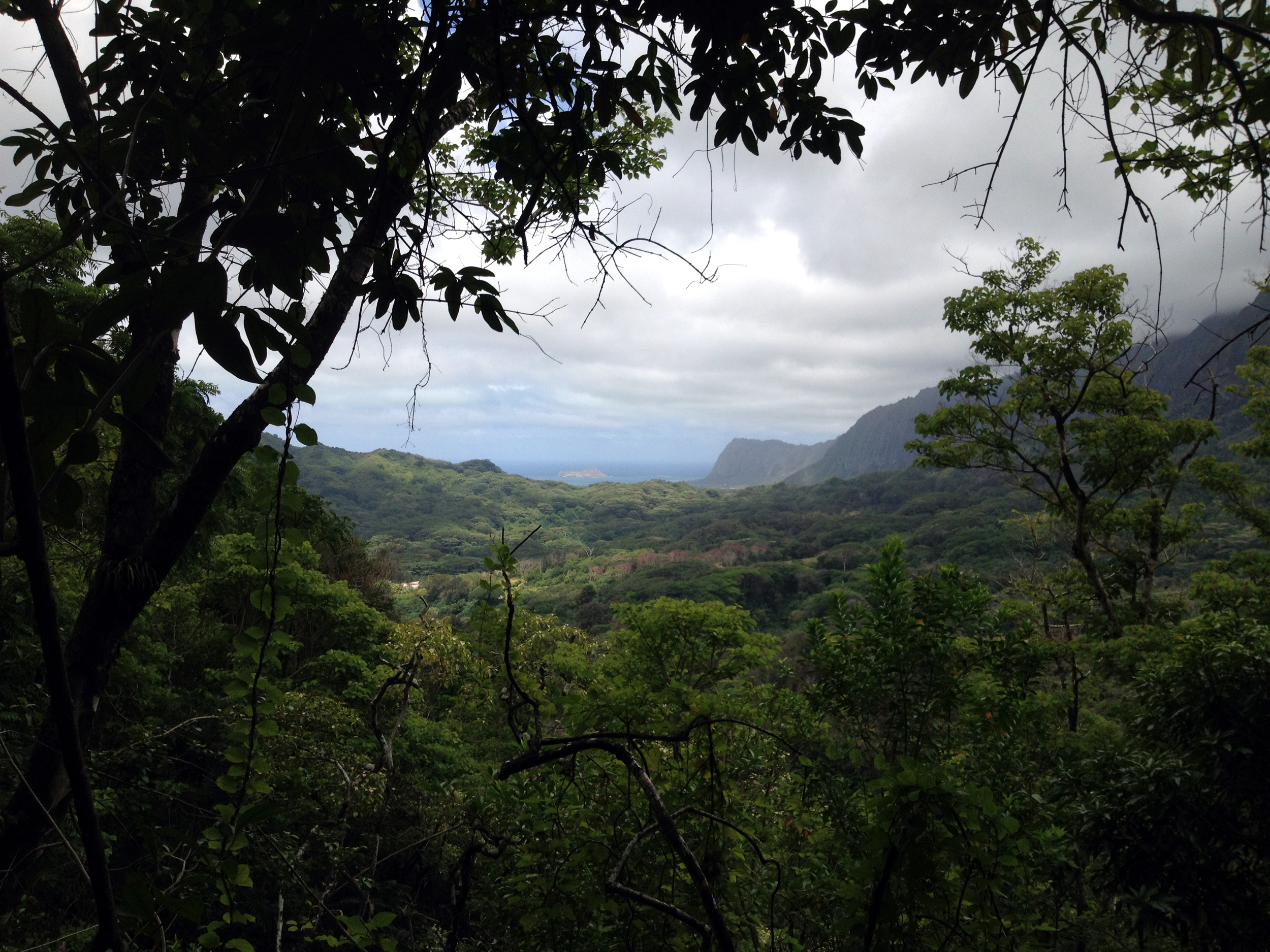 Ok, time to head out. Back track up the trail to the bench you came to earlier. Catch your breath and continue on the main trail down. There are plenty of side trails into the neighborhoods to your left, but I recommend just staying on the main trail. It is clearly marked. There are plenty of stairs cut into the trail to aid you in your trek. You will cross the stream several times. The areas closer to the stream and in low areas, can be “ULTRA” muddy! My advice is this: Don’t try to walk on the root tops. They are slick and can easily take out an ankle. As with many muddy hikes, your feet are going to get wet and muddy anyway. Try to step in the holes between the roots, grin and bear it! You will thank me. Besides, mud is a blast!!!!! Be a kid and play!!!!
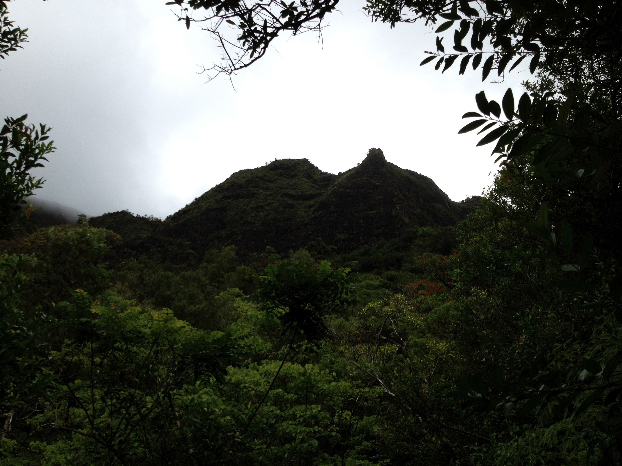 Soon, you will see signs of civilization again. At one point you will see a road through the trees. This is actually a driveway, believe it or not, so stay on the trail and don’t trespass. You will know you are at the end of the line when you run into a set of clearly marked signs. Step out on to the road and head on up to the main road. If you had parked here, you’re on your way to a taco and a margarita! If not, I guess you could go back the way you came, or call a Taxi!
What a great day… Do try this one out.
Happy trails ya’ll!!!
JWM

