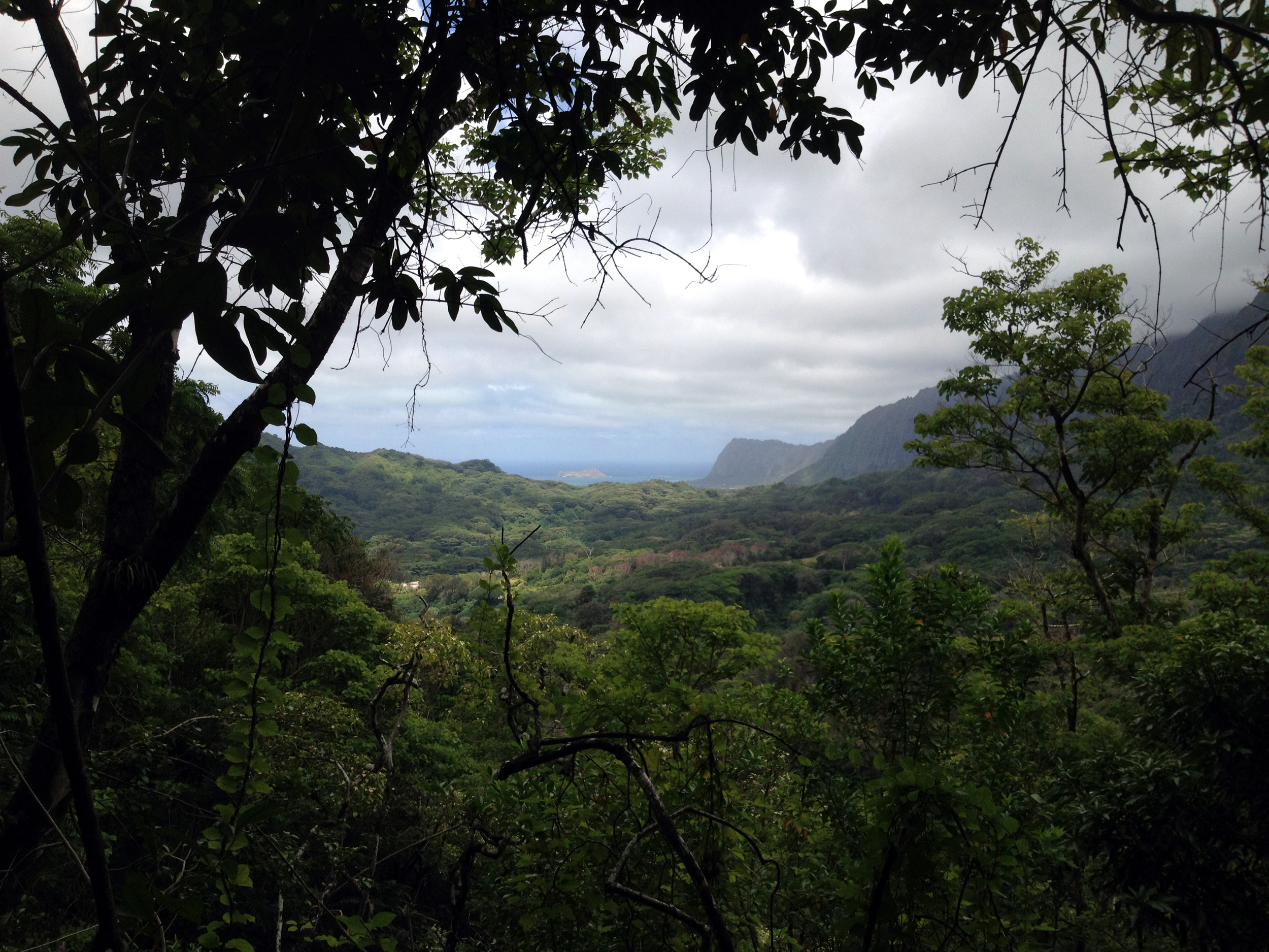
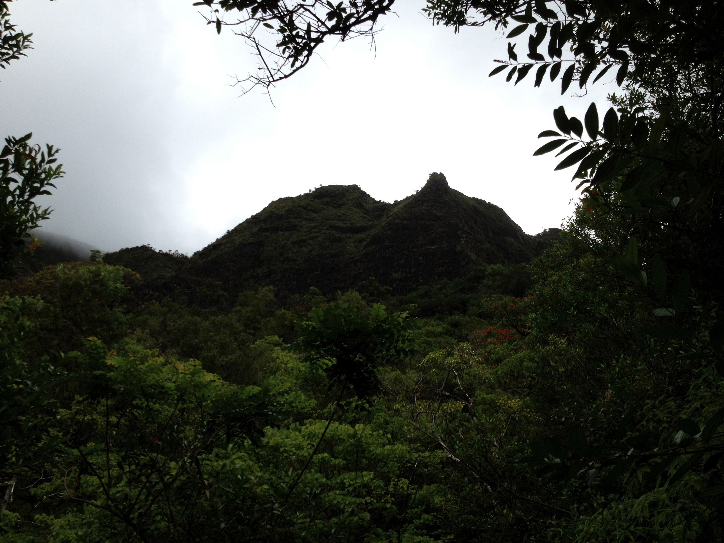
DISCLAIMER!!! I assume no responsibility for any broken bones, skinned knees, blood loss, bee stings, sudden black-outs, dehydration, tears shed, or crybabies on the first leg of this hike. You’re on your own. With that said, “Break a leg” and have some fun hikers!!!
Distance: 4.52M. Elevation: 29ft.-1,265ft.-16ft. Time: 6.6 hours. Water consumption: 48oz. Caloric output: Allot! Difficulty: 3.8-4.4 Geo Cache: 4-5
Way points:
Parking: 21°18'1.80"N 157°41'33.79"W Trail head 1: 21°18'2.22"N 157°41'34.28"W
Trail head 2: 21°17'54.19"N 157°41'24.39"W
A: Kaiwi Road: 21°18'5.49"N 157°41'34.53"W
B: Urban dump: 21°18'31.15"N 157°41'34.36"W
C: Water ruts: 21°18'46.13"N 157°41'35.38"W
D: Jeep road: 21°18'48.91"N 157°41'31.31"W
E: Pine trees: 21°18'59.45"N 157°41'32.96"W
F: Big rock: 21°19'2.05"N 157°41'32.01"W
G: Thick: 21°19'5.94"N 157°41'32.95"W
H: Thicker: 21°19'11.79"N 157°41'34.88"W
I: Slab: 21°19'13.41"N 157°41'36.32"W
J: Ridge: 21°19'15.03"N 157°41'35.62"W
K: Pine forest: 21°19'13.59"N 157°41'23.70"W
L: Trail cut-off: 21°19'15.07"N 157°41'19.54"W
M: Drink: 21°18'51.61"N 157°41'14.70"W
N: View: 21°18'36.46"N 157°41'18.05"W
O: Cut-off: 21°17'58.21"N 157°41'23.22"W
P: Heiau: 21°17'54.70"N 157°41'23.51"W
For starters, PLAN AHEAD! This will take you a fair amount of the day and plenty of water and perhaps a few tacos in your pouch. (And some Band-Aids) There is a section of this trail that is not on any maps I could find, so we made our own through the valley. Depending on the conditions in the back of this section, you may find yourself beyond head high in saw grass, sharp ass thorns and hidden “Ankle Breaker” holes in the weeds. The rule here is, WATCH YOUR STEP! The rewards at the top are worth the battle, so power on hikers, power on…
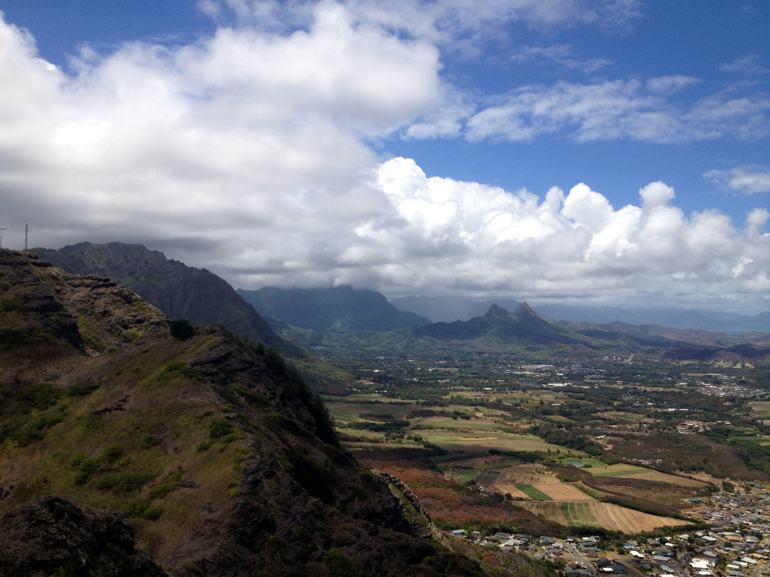
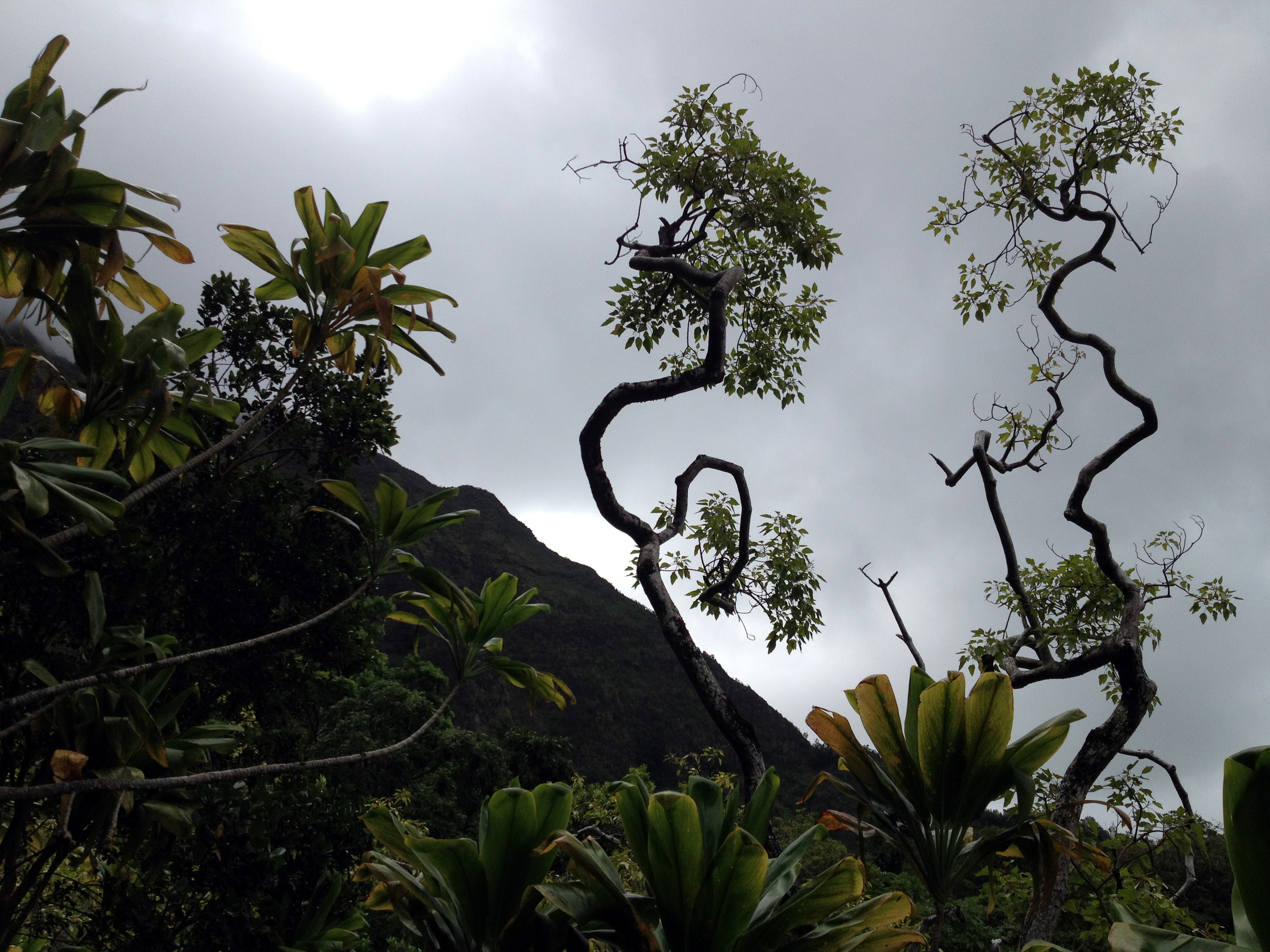
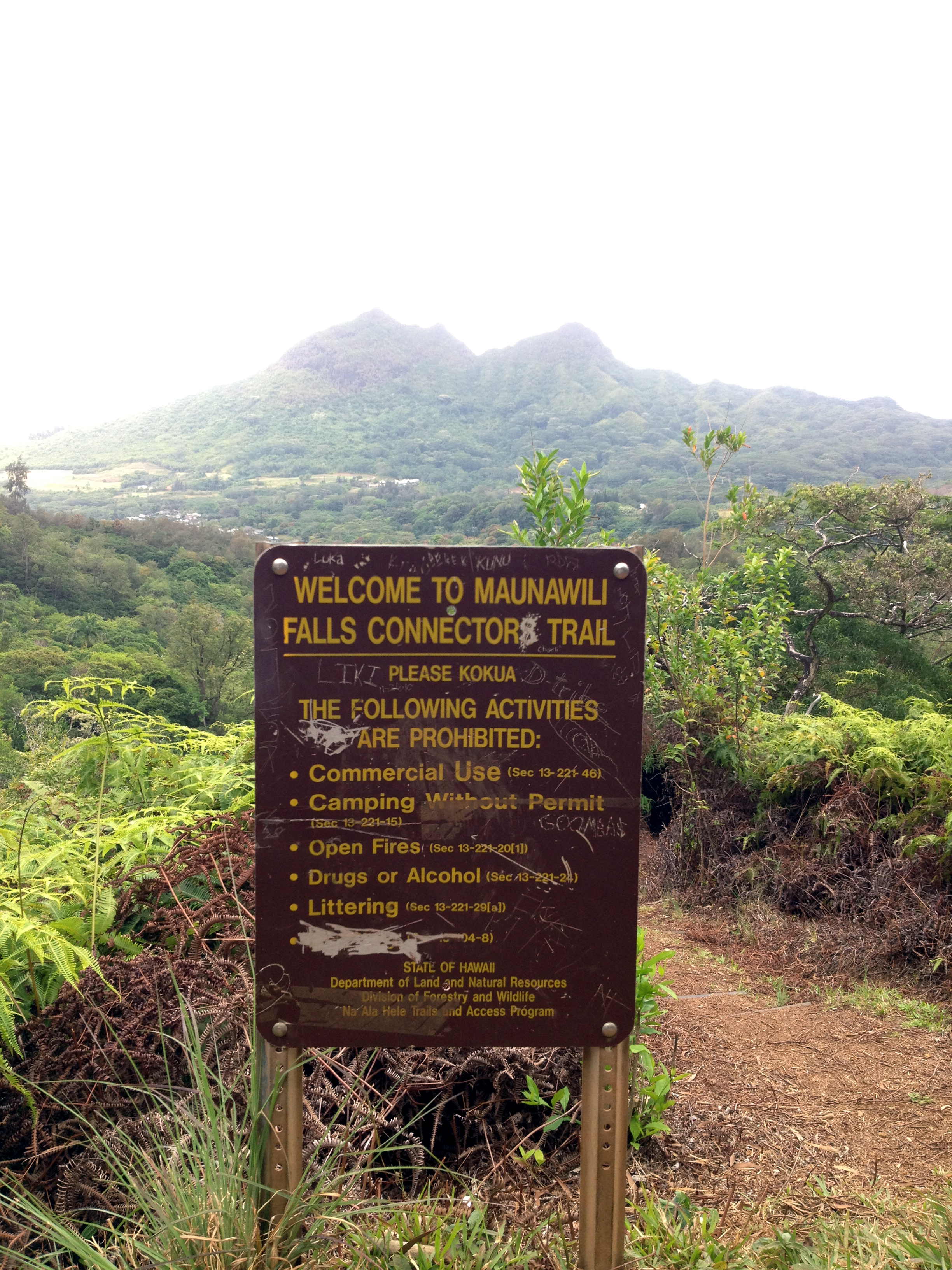
 Kamiloiki is a pretty groovy ridge hike in East Oahu. You can get to the trail from the Pahua Heiau, just off Makahuena Place in Hawaii Kai, and ascends to the Koolau summit overlooking Waimanalo at an elevation of about 1,400 feet. Not on this day. If you are out of your mind like my friend and I, you can ascend to the ridge from the valley. Apparently there used to be a few old Jeep roads and trails that would lead to the back of this valley, ultimately ending at the saddle of the ridge. In the 1960’s, there was some quarry work going on back in this valley and some of the old roads can be made out in Google Earth. That means absolutely nothing while buried in 18 foot tall grass. Ever tried to navigate a corn field? Then you get what I’m saying. The entire route was grown over and all maps had little relevance to what I mapped on my GPS units. So, what I did was hack through the bushes and drop bread crumbs all along the way for you to fallow. Although there was evidence of a trail, from time to time those little pink hike markers quickly disappeared and we found ourselves bush-whacking our way to the top. If you find yourself discouraged, take a breath and look for the ridge in the distance. Just head there. I assure you, it is possible, so be cool and stay frosty. “DID HE SAY BEE”????? “RUN”!!!
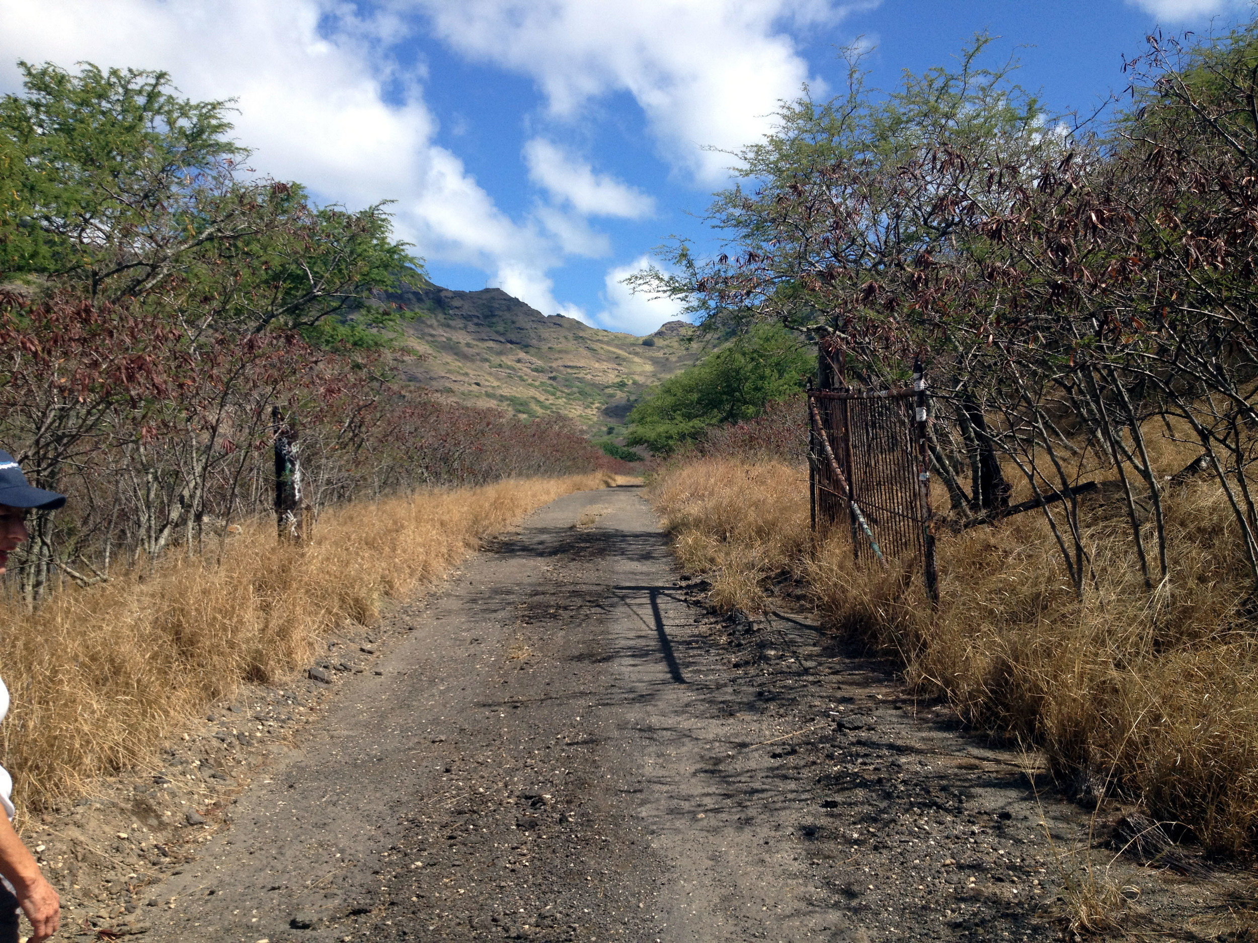
You can park your car somewhere near the corner of Kamilo St. and Niumalu Loop. At the end of this street, you will see a dead end and a dirt road that runs perpendicular to the street. Pass through the bushes and head left. In about 40 yards, you will see a dirt road that heads towards the valley on your right. GO!!!!!!
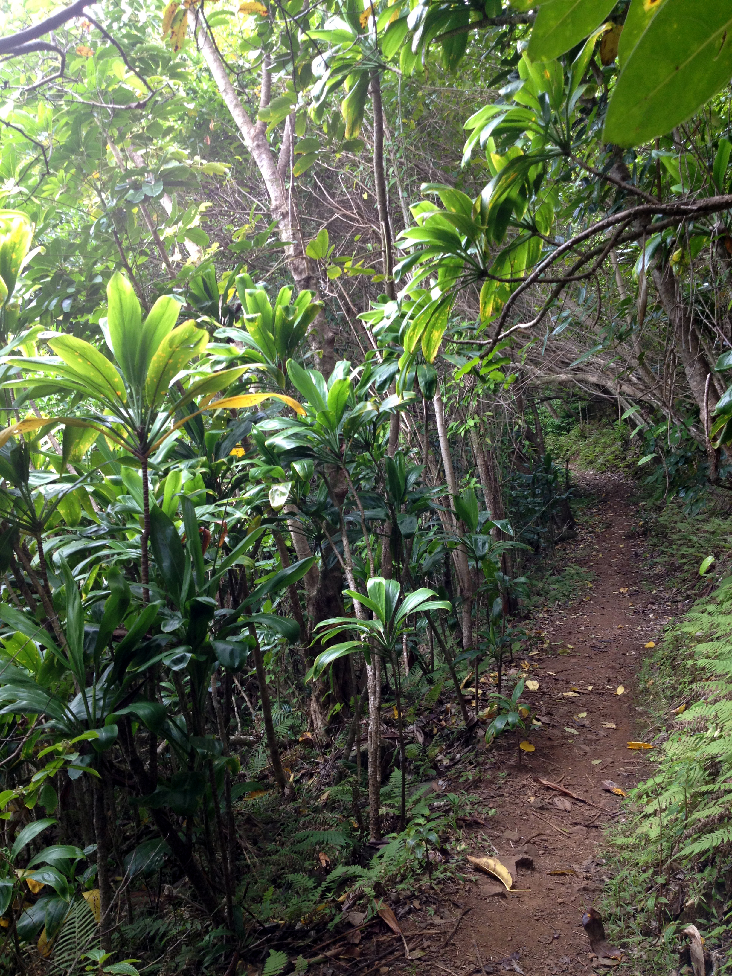
 This is an old service road that heads for quite a distance into the valley. You may see some urban remnants and some additional trails on the left and right, but just stay on the main road until it peaters out. When this is the case, just keep a sharp eye out for those pink and orange trail markers. They will lead you into the fire for sure, but have faith my fellow hikers. “BE THE TRAIL GRASS HOPPER”!
 Along the way and after a few scrapes, you will find your way across many water ravines and old grown over roads. In such cases, it is easy to have the desire to follow those roads into hell, but DO NOT stray from the markers yet. Even if they lead you into a wall of grasses, you must stay the course at all costs. Some of these other routes may lead you back the wrong direction and that would be a waste of time for sure. Our goal is up, up, up!!!
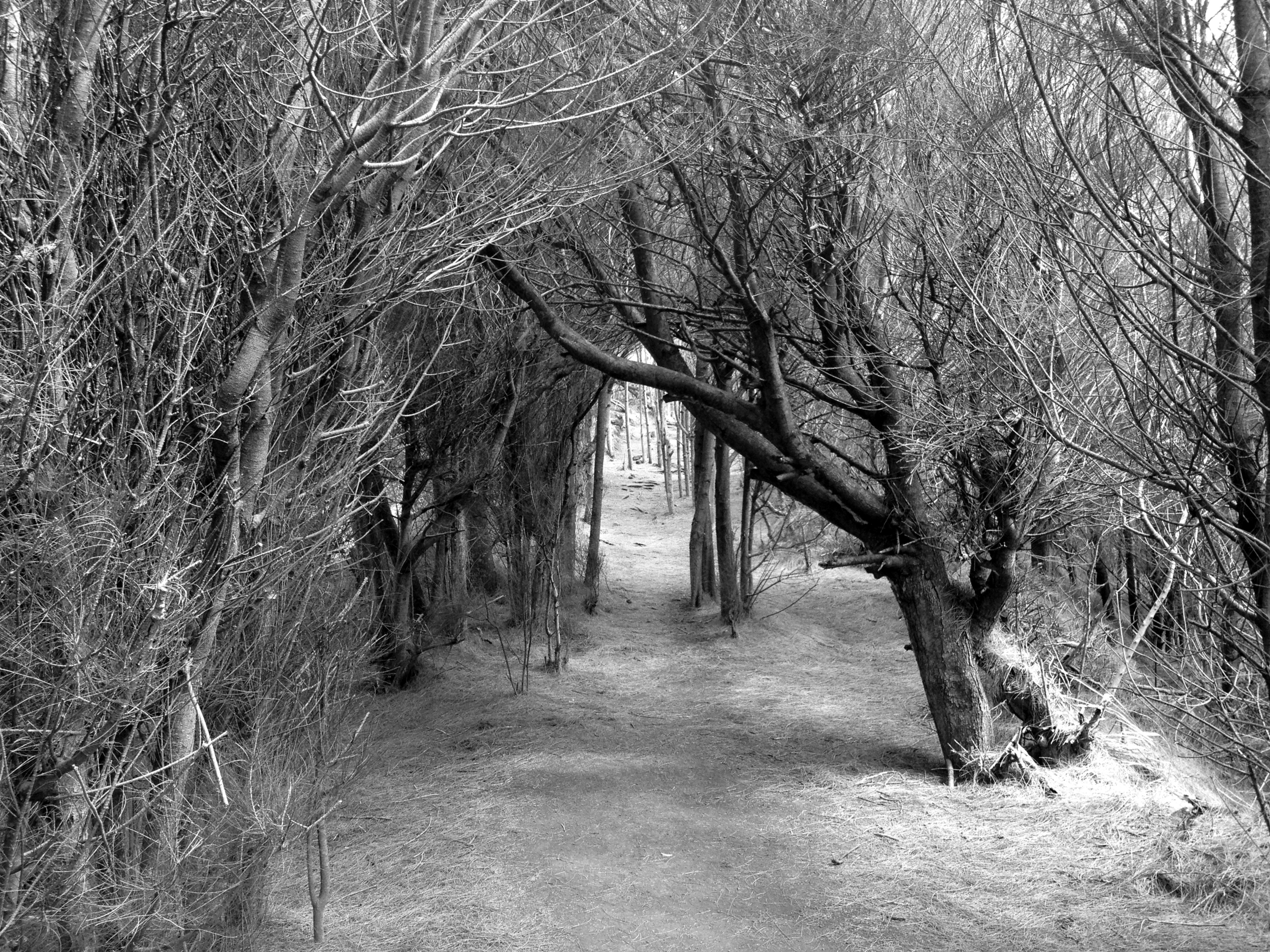
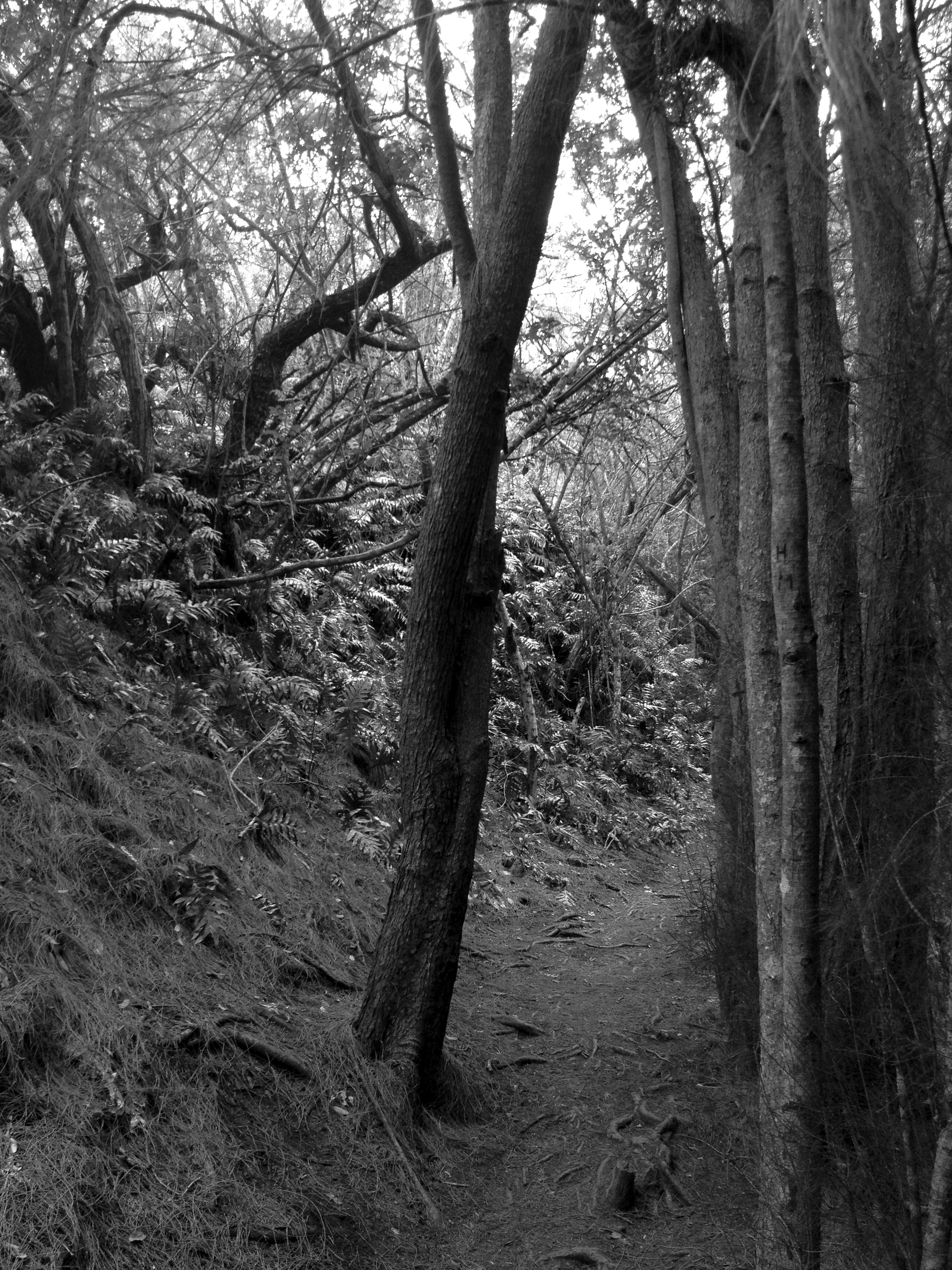
A grove of pine trees will quell your anxiety. Take a break and lie down in the pine needles for a spell. There are a few comfortable rocks to enjoy a taco if you wish! Don’t eat too many though, or stay too long. There is a mountain to conquer soon and you will need the day light. OK, all rested? Kick’n, let’s get going…
At some point, those little pink fairies will dissolve. Yes, those beacons in the dark finally decided you were a nut ball and split. You are all alone from here my friend. This is the part I spoke of earlier. Try hard to keep the course. Up, up ,up…
 Soon enough, you will be able to make out the trail along the saddle ridge before you. The last few steep spots will tax you, but never fear for the view just over there is worth it. Something to remember as well, by now you are as hot a flap-jack on a griddle. If you make it to the ridge, it has breezes that would cool even the hottest Supermodel down to her bones! (Oh boy) ”Got water”?!?!
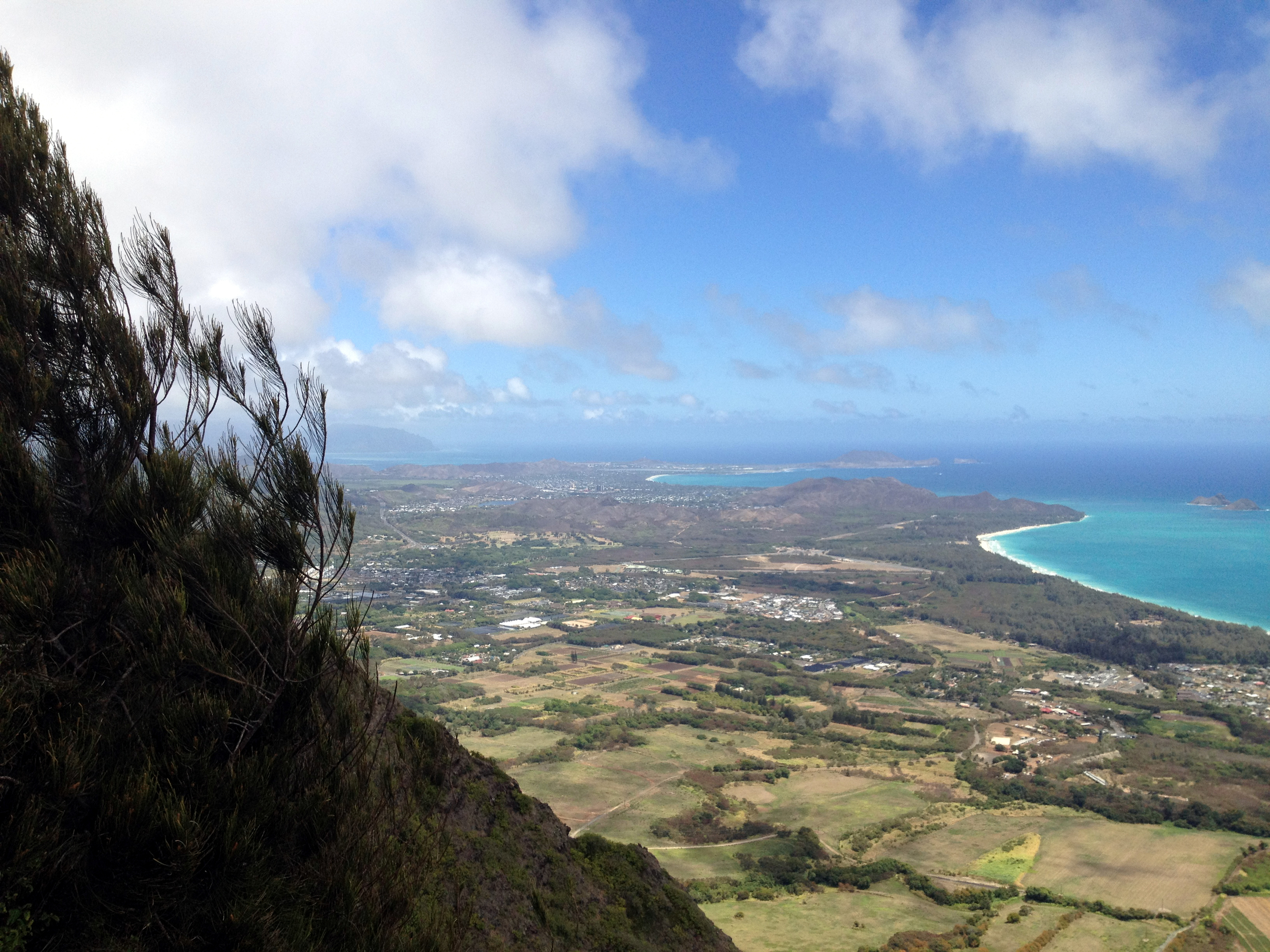
 YOU MADE IT!!!! Now look left and right! Look ahead! This is some awesome stuff guys’! The ridge trail on the right follows an open ridge with little shade, although it enters an ironwood forest just before the final climb to the summit. The cliffs below will steepen a tremendous amount below you as you climb the exposed rocks. Never fear though, the trail has been well traveled and feels safe. The 5-mile round trip is okay for older children, providing they are under complete control at the summit at all times. At the end of the trail, a cliff appears suddenly, and drops precipitously more than 1,000 feet. This is no place for kids to be running around, and the acrophobic will want to hang back in the wooded area behind the drop-off.
NOW YOU CAN EAT THOSE TACOS!!!! Take a seat in the woods and enjoy. The winds are amazing as they excite the pine trees. The needles on the ground make for comfortable napping as well! “Snooooooor”… You may need the rest, for the never ending trek down the Kamiloiki ridge is before you now.
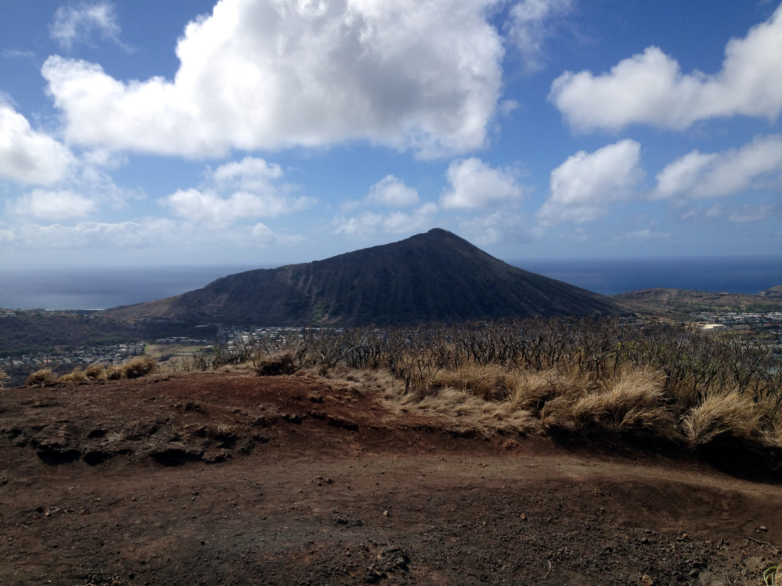
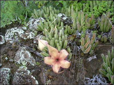
Head on down the trail until you come to a split to your right. This is the trail down to the ridge. At first, you will find yourself in a forest with several switchback trails. Just keep on going. Eventually, you will begin to see the task before you. A long, hot, sweaty, rocky and dry ridge. To your left, you will be passing above the neighborhood above Lunalilo Home Road. To your right, you will see a beautiful valley that I hope to explore in the near future. Depending on the time of the year, Carrion Cactus will be blooming in many places along this part of the ridge. If you are curious about the name, kneel down close to the flower and sniff.
The long road home may seem endless at times, but I assure you, it will end. There is a cut-off to the right you are looking for. This is a steep trail that will lead you down into the Heiau and to Makahuena Street. Watch your step and be mindful of the loose rocks and slippy dirt sections. Please do not walk in or on the heiau to reach the street, and respect neighborhood residents by proceeding quietly. There are some placards with some history lessons if you wish, but by this time I am sure an air conditioned bar and a beer is more likely on the top of your agenda.
Speaking of a beer. I’m done here!!!!!
Happy trails yall!!!!
JWM


